
The afternoon on this day started out with high expectations of a possible Tornado event across Northeast South Dakota and West Central Minnesota. We set a target near Milbank SD for initiation and waited on storms overlooking the amazing South Dakota Prairie Coteau region.

Storms Began to fire over Marshall County South Dakota, and after a short 20 minnute northward adjustment, we intercepted the severe warned cell east of Britton with a nice rain free base showing here.

Small wall cloud showing itself in the updraft base east of Britton SD.

On a rural Roberts county road west of Sissiton we came accross the project rotate DOW convoy tracking the severe storm.

While watching the dominant supercell just to our northwest other cells were firing to our southeast on the SD/MN border that became quickly warned.

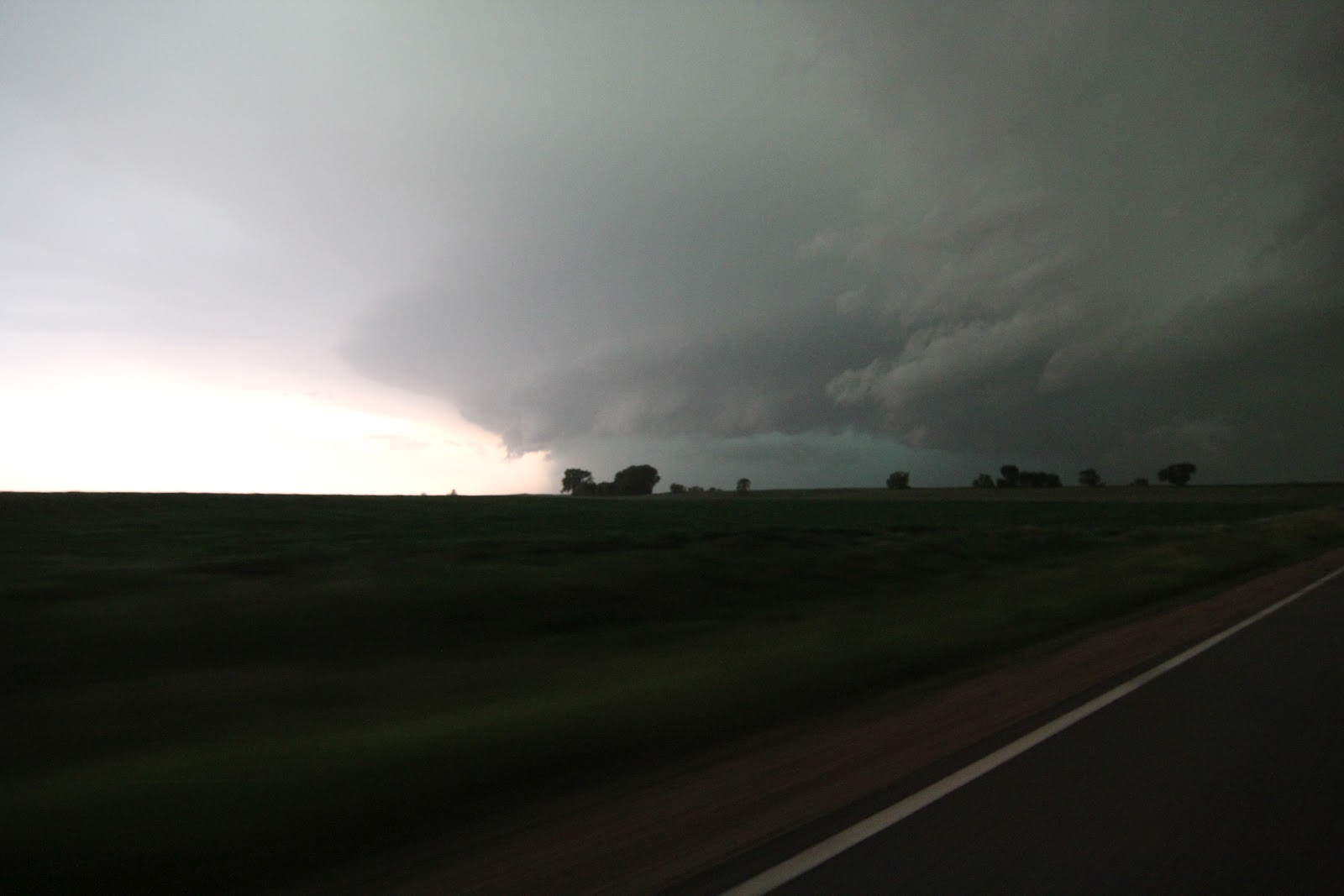
Here the now tornado warned supercell shown over the SD/MN border near Browns Valley MN was producing over 100MPH winds on the South Dakota side near the town on Peever.

Nick shown here near the chase vehical shooting the incoming shelf cloud near Browns Valley MN

Violent and spectacular looking supercell producing 100MPH + damaging straight line winds and golf ball sized hail about to cross the border into Big Stone County Minnesota!

Here the still tornado warned storm shown just north of Ortonville MN near the town on Odessa in Big Stone County. In this pic you can see the shelf cloud up close as well as a wall cloud in the precipitation free updraft area in the background as daylight was fading. This storm caused significant straight line wind damage in the towns of Big Stone City SD as well as in Ortonville MN with winds over 100MPH+.

As the storm moves deeper into Minnesota the leading edge shelf cloud begins to take on a nice multi - layered banding shape near Dumont MN.

Here literally chasing the edge as small debris and a stick blow across the car in front of us as damaging winds were only behind us and to our right by a mere mile.
Here we get one last look at this beast as the sun was setting far behind it. As it tracked east it produced widespread and significant wind damage and flooding in Kandyohi and Meeker counties near Atwater and Grove City on US HWY 12.
Although we did not see a tornado on this day, We still considered one of the most enjoyed chases of the year so far as the storms on this day were very photogenic and packed a punch!
No comments:
Post a Comment