Knowing the less than favorable road networks to our north in the Big Chippewa National Forest, we quickly raced east through Crow Wing and into Aitkin county where we knew we could intercept the storm in some of the more open visible country of the Jack Pine swamps as it began to take a more southeasterly turn down the arcing warm front near US Hwy 169. As we made the last move to the north near Hwy 210 north of Aitkin it became clear that this was no ordinary storm, but a true Minnesota Northwoods beast!
As Bill Doms once said, "if it looks mean it's mean" and this one sure did look mean!
It was very nerve tingling to see the nervous faces and to hear the voices of early holiday weekend traveler's who were clueless to the storm that lay ahead and were constantly pulling up to ask us what was going on and were was the storm.
Many cabin goers turned around and raced back south as others pulled over and stood down in the ditch.
The storm had the best structure that Nick said he had ever witnessed in Northern Minnesota. He said that it brought back memories from when he was a kid spending the summer with storms on nearby Round Lake in northern Aitkin county. He also said that this brought another past story of a historic Minnesota August tornado from 8-6-1969, the Roosevelt Lake F4 tornado that nearly tracked over and through the same area near Swatera & Haypoint townships in Northern Aitkin county as it tracked up from the southwest on its long and deadly path.
We have sent our findings and a few specific photos on to the Duluth National Weather Service to help further assist in their post storm assessment being conducted in this specific area of Cass & Aitkin counties.
It was a very fulfilling chase day as we got to witness this tornado near the end or its path near Hill City as well as with fellow chasers Doug Kiesling who watched along with us as the beast crossed the road to our North & Bob Conzemius who also witnessed the broad rain wrapped tornado earlier in its lifecycle in Cass county near Remer.


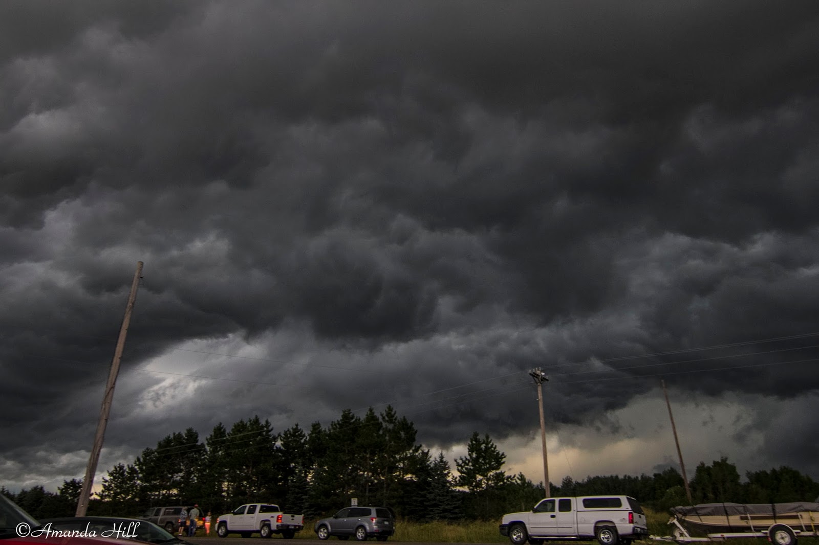
Locals and travelers who were nervous and confused created mini traffic jams in the middle of no where as the stormy skies churned overhead!


Super long inflow tail racing into the storm!

The storm base with decent inflow as the sun sets over Aitkin County near Hassman.
It was a great chase day for a Northern MN
No comments:
Post a Comment