It seemed that summer went way to fast.
Stats of the year
Start chasing on April 26 in Nebraska
Ended chasing on September 30th in South Dakota
Chase dates were:
April 26: Nebraska
April 27: Iowa
May 8: Southern MN
May 10: Iowa
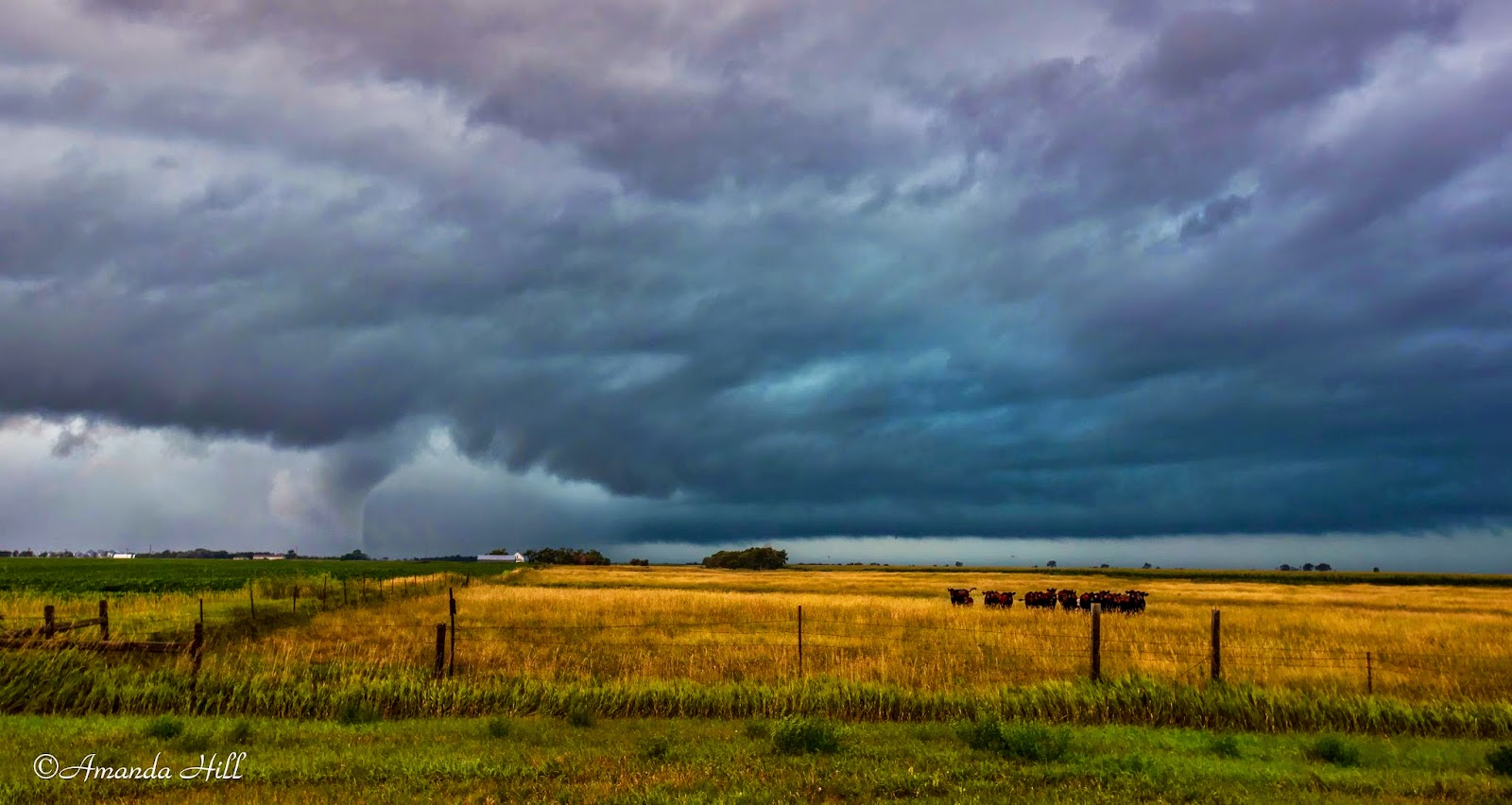
May 11: Nebraska Tornadoes
May 25: Rapid City, SD Rain Shower
June 1: Kansas
June 3rd: Moderate Risk Nebraska
June 14: Southern MN Shelf / Iowa Slight Risk
June 16: South Dakota Shelf to Southern MN Shelf
June 21: South Dakota Slight Risk
June 28: Rain Shower and Rainbow
July 7: Central MN Slight Risk
August 23: Faulkton County, SD Tornado
August 24: Benton County, MN Tornado
August 31: Northwest Iowa Slight Risk
September 3: West Central MN Slight Risk
September 20: Sargent County, North Dakota Slight Risk
September 30: South Dakota Slight Risk
States we traveled to this year for chasing:
Minnesota, South Dakota, North Dakota, Nebraska, Kansas and Iowa.
Lots of miles; lots of memories; and 5 tornadoes witnessed. Lots of slight risks; and a couple of moderate risks thrown into there as well.
Below is some of the favorite shots from the season.


June 21, South Dakota

August 24th: Benton County, MN


August 23: Faulkton County South Dakota