This was a Super Fun Chase this evening from Southeast Montana to near Bowman North Dakota Really gorgeous storms with that loved High Plains touch!
We had fun just seeing far off into the distance for miles of the sky and the endless rolling plains.

A Native American display in New England North Dakota

Amazing endles Blue skies on the Northern High Plains! Pure Reflection and Therapy time!

Nick waiting on the storms in rural North Dakota.

View up the the developing storm off to the north.

Ground eye view of the approaching storm to the North.


An Isolated supercell struggling in a weakly sheared environment with an ugly dew point depression.


Trying to make a go at it as some slow rotation is occurring and the inflow surface winds noticeably increase.

While watching the building storms on the western horizon a True "Bovine Convergence" occurred near Baker Montana when this herd of Angus came running up to me at a "Scary" Fast pace! I though they may stampede the fence but held short and enjoyed my company as much as I did theirs!

A Severe supercell storm gains strength over far southwestern North Dakota.

One from the day as the parade of Gorgeous High Plains Supercells go on! This one put out this lonely orange CG as I pulled the trigger as the leading edge menaced near the Wyoming/South Dakota Border!

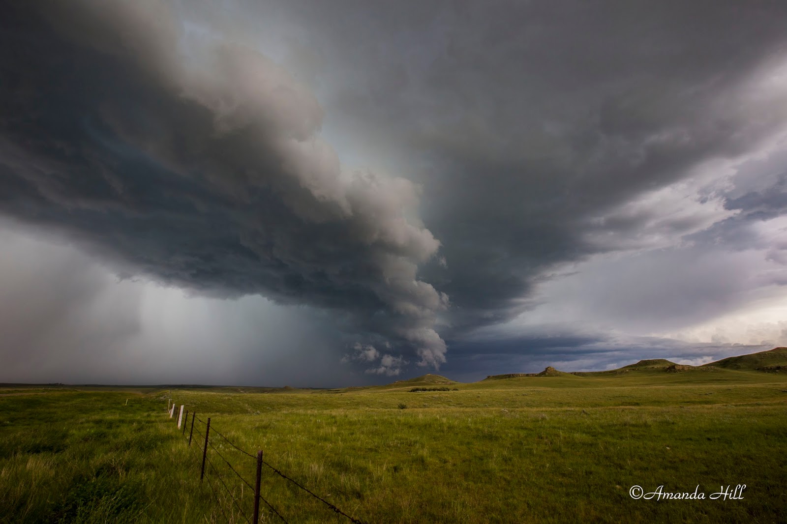
The shelf now approaching us from the North.

Severe Storm with large Hail near Bowman North Dakota.


Nick Filming time Lapse as the leading edge makes a move on our vantage point!
A dramatic shelf cloud over the tallest point in North Dakota, Slope counties White Butte at 3506Ft tall.


On our way southward towards Spearfish, South Dakota we stopped at this side rest to read about the Crow Buttes. Interesting story!
No comments:
Post a Comment